Open Access Government produces compelling and informative news, publications, eBooks, and academic research articles for the public and private sector looking at health, diseases & conditions, workplace, research & innovation, digital transformation, government policy, environment, agriculture, energy, transport and more.
Home Search
geoscience - search results
If you're not happy with the results, please do another search
Uncovering the potential for geoscience research in Canada’s North
David Mate, Executive Director of the Northern Canada Division, Geological Survey of Canada, shares how the GEM-GeoNorth program is using geoscience research to improve the quality of life for Canadians.
Mentoring diverse graduate students in agriculture, geoscience, and related disciplines: Are you a mentor?
Mentoring starts from within the faculty member – a mentor guides a student from situation to solution using their lived experiences and expertise.
Marine geoscience research and UK aggregates
It is often said that we know more about the surface of the moon or Mars than the ocean floor, but marine geoscience research is enabling a better understanding of some of the biggest issues.
Solar wind can provoke earthquakes: Possible magnetosphere-solid earth tornado
This article explores the potential influence of solar wind on earthquake occurrences, drawing on findings that show a correlation between strong earthquakes and geomagnetic storms, particularly in areas beneath the polar cusp during storm events.
Cracking the code of active volcanoes
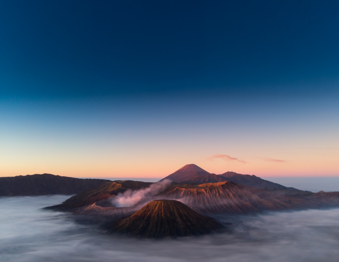
Through the Horizon 2020-funded IMPROVE project, European scientists are deploying cutting-edge tools to reveal the hidden dynamics of Earth’s most powerful forces.
Flood risk in Pacific Northwest is increasing due to earthquake and rising sea levels
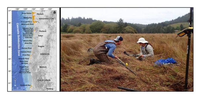
Thousands in the Pacific Northwest face a heightened flood risk, not just from rising sea levels, but from the land itself potentially sinking. A new study details how a major earthquake could drastically expand vulnerable coastal areas.
10th Anniversary of the 2015 M7.8 Nepal earthquake: Explore new prediction technologies
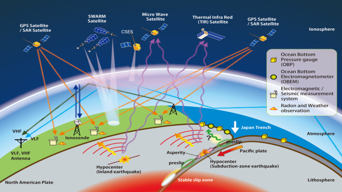
Dr. Dimitar Ouzounov from the Institute for Earth, Computing, Human, and Observing (Institute for ECHO) at Chapman University and Dr. Angelo De Santis from the National Institute of Geophysics and Volcanology (Rome, Italy) are exploring new technologies for short-term earthquake forecasting and prediction, including the application of the LAIC approach to the 2015 Gorkha earthquakes in Nepal.
Seismic resilience in the age of AI and advanced remote sensing
Prof. Dr. Cecilia Van Cauwenberghe, PhD, MSc, BS, MBA, is Research Director at Everest Group. Here, she explores seismic resilience in the age of artificial intelligence and advanced remote sensing, focusing on how science and technology transform earthquake preparedness.
The Earth’s inner core is changing shape, study reveals
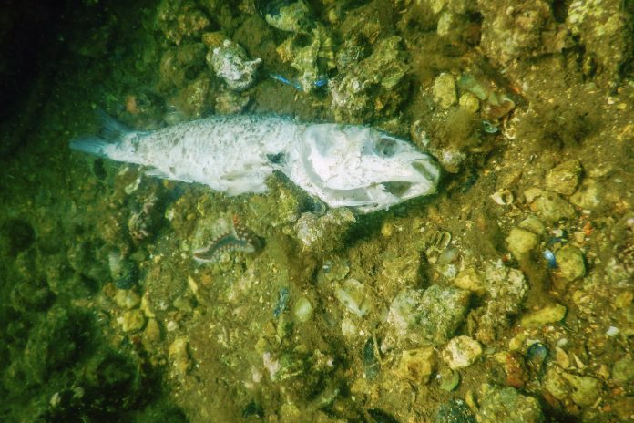
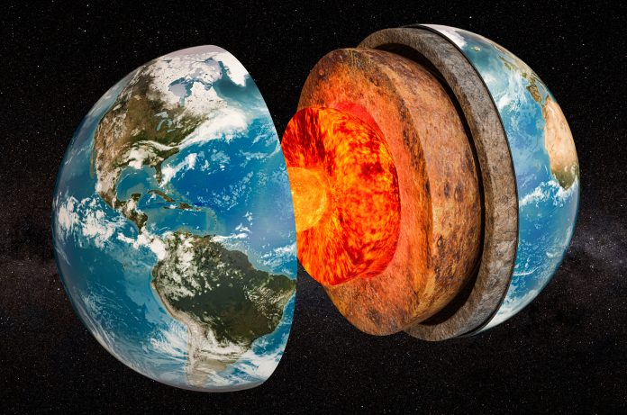
Deep within Earth, a hidden transformation is underway. Scientists have discovered that the inner core's surface is changing shape, challenging previous assumptions about its solid nature. This dynamic activity could influence Earth's rotation and magnetic field.
Agricultural terraces in Europe: Geoarchaeological and botanical methods
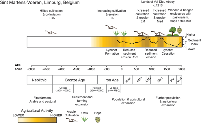
Tony Brown, Dan Fallu, Sara Cucchiaro, Ben Pears, and the TerrACE Team, highlight agricultural terraces in Europe, providing geoarchaeological and botanical insights.
The antarctic peninsula greening at rapid rate due to climate change
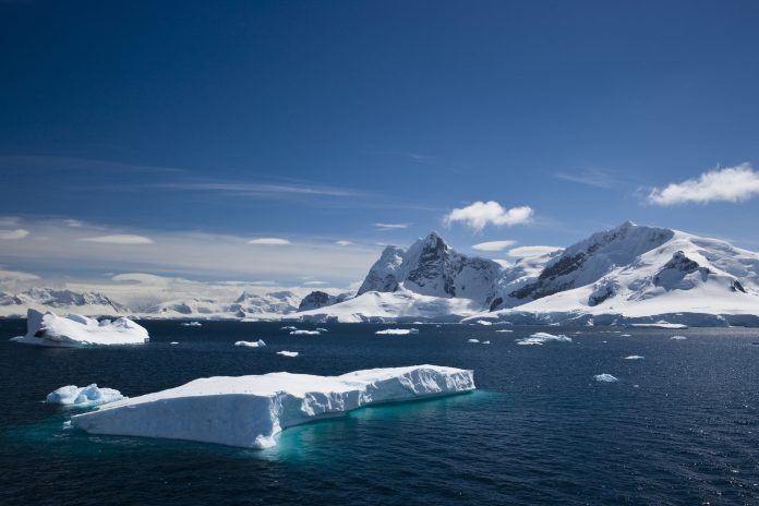
The Antarctic Peninsula is experiencing an extreme transformation as vegetation cover has multiplied over the past four decades.
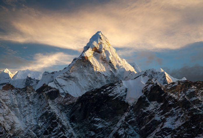
Why does Mount Everest keep growing? Examining the unique geological process
Why does Mount Everest keep growing? Researchers from University College London (UCL) have revealed the forces behind the continued growth of Earth’s tallest peak.
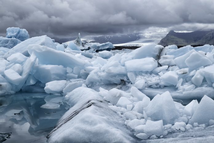
Insights from Earth’s last ice age could shape future climate predictions
A study led by the University of Arizona has revealed connections between Earth's last ice age and future climate patterns, particularly concerning the El Niño phenomenon.
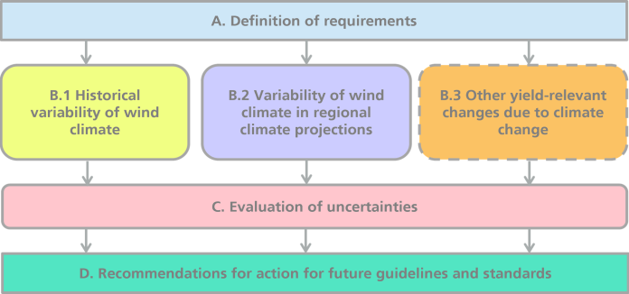
GERICS supporting climate-resilient wind energy sites
Dr. Irem Isik Cetin and Dr Elke Keup-Thiel offer expert insights on how GERICS supports the climate-resilient development of wind energy sites.
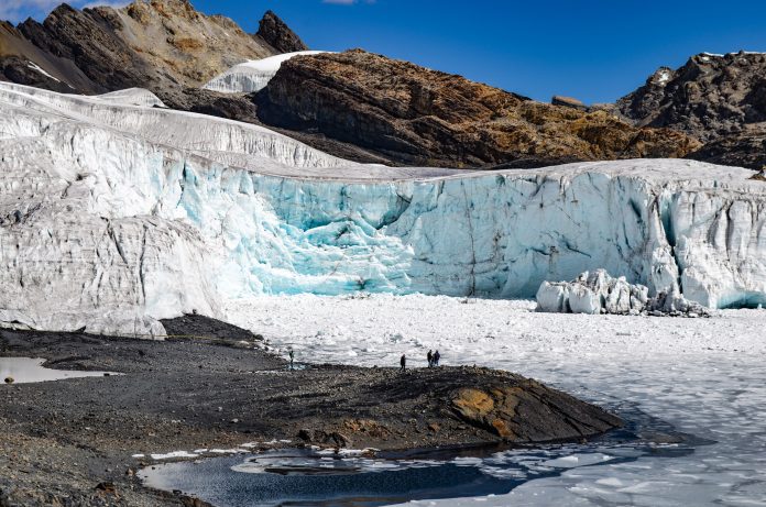
Tropical Andes Glaciers shrinking to historic lows
The tropical Andes glaciers have shrunk to their smallest size since the last ice age, showing urgent climate concerns.
Supporting climate action in the agricultural sector
Climate Service Center Germany (GERICS) discusses here how innovative climate service products can help inform climate adaptation and mitigation, particularly within the agricultural sector.
Indigenous students face disparities in STEM
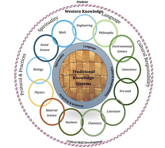
Dr. Judith Brown Clarke and Dr. Wendy K’ah Skaahluwaa Todd, shed light on the crucial role of cultural identity in native American-Alaskan students’ persistence and success in STEM fields and the Geosciences.
The impact of earthquake fatalities over past 500 years
Researchers have introduced a new metric called the earthquake fatality load (EQFL) to assess the impact of earthquakes on countries over the past five centuries.


