Preparations are almost complete in California for the launch of Sentinel-6B, the latest satellite in Europe’s Copernicus Earth observation programme
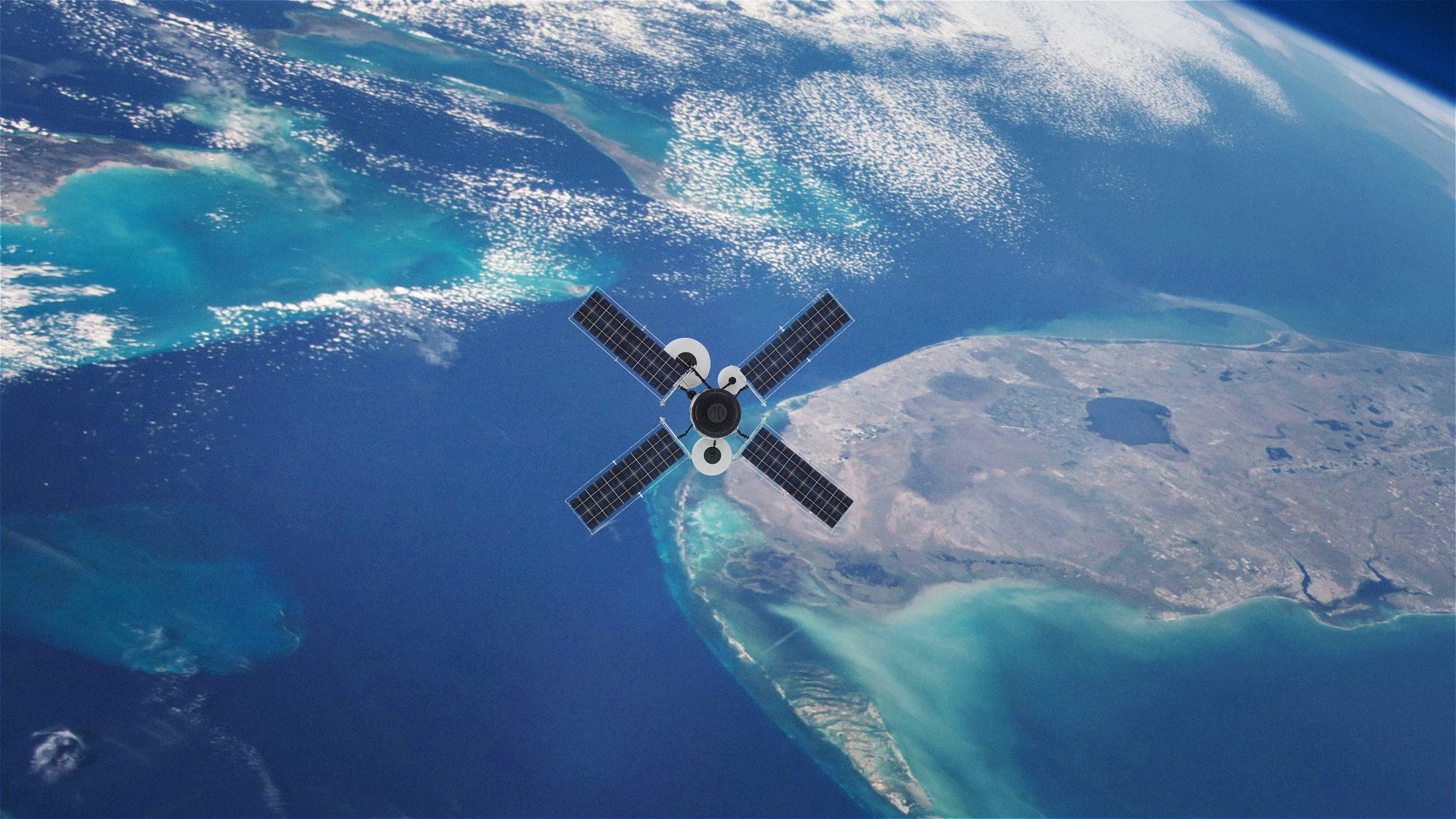
Sentinel-6B is set to lift off on 17 November 2025 from Vandenberg Space Force Base aboard a SpaceX Falcon 9 rocket. The mission will expand one of the world’s longest and most reliable records of sea-level change.
Sentinel-6B continues a data record that began in 1992, creating more than three decades of consistent, high-precision measurements of global sea levels. Its mission is critical as oceans rise faster than previously projected, threatening coastal communities, infrastructure and ecosystems around the world.
A step in climate and ocean monitoring
Developed through a partnership between the European Commission, ESA, EUMETSAT, NASA and NOAA, Sentinel-6B will take over from its predecessor, Sentinel-6 Michael Freilich.
This phase will last approximately one year and will enable the two satellites to cross-calibrate their instruments, ensuring a seamless extension of the global sea-surface height record.
The satellite carries advanced radar altimetry and microwave radiometry instruments designed to measure sea-surface height, significant wave height and global wind speeds. These observations directly inform weather and climate models, enhancing the accuracy of forecasts and enabling authorities to prepare for storms, floods, and long-term climate impacts.
By refining their understanding of how oceans respond to a warming climate, scientists can better predict future scenarios and develop more informed adaptation plans.
Supporting communities and decision makers
Rising sea levels are one of the most urgent risks to millions of people living near coastlines. Cities, ports, energy facilities, farms, fisheries and wildlife habitats face increasing exposure to flooding, erosion and storm surges.
Accurate satellite-derived data helps governments and local authorities plan for these challenges by informing coastal defences, land-use strategies and emergency preparedness.
The new mission also strengthens the broader Copernicus ecosystem. Data from Copernicus Sentinels is used daily to support crisis response, environmental protection and economic planning. Emergency teams rely on satellite imagery to track floods and wildfires, farmers use it to monitor crop and soil conditions, and air-quality specialists use atmospheric observations to improve pollution forecasts. Sentinel-6B adds another essential layer to this global monitoring network, ensuring that decision-makers receive timely and dependable information.
Space Minister Liz Lloyd said: “Sentinel-6B will help protect the lives and livelihoods of communities right here in the UK and across the world, whether that’s defending our coastal towns from flooding, safeguarding our ports and maritime industries, or helping families and businesses prepare for the future.”
“This mission shows how UK space expertise delivered through ESA and Copernicus activities delivers down-to-earth benefits that matter to people every day.”
UK contribution to the mission
It plays a vital role in the development of Sentinel-6 B. Airbus Defence and Space UK, based in Stevenage, built and tested the satellite’s hydrazine propulsion system, which includes eight thrusters responsible for maintaining its orbit.
Universities and research institutions in the UK also provide expertise in calibration and scientific analysis.
The UK Space Agency continues to support national involvement in Copernicus missions and promote the use of Copernicus data across government, industry and academia. These efforts help strengthen environmental management, civil security and climate resilience, while also advancing the UK’s leadership in space-based services.
Sentinel-6B’s upcoming launch caps an exceptionally active year for European Earth observation. Primary missions, such as Biomass, Sentinel-4, Sentinel-5, Sentinel-1D, and the France–UK MicroCarb satellite, have all been deployed successfully. With Sentinel-6B and HydroGNSS soon joining them, momentum in climate and environmental monitoring continues to build.


