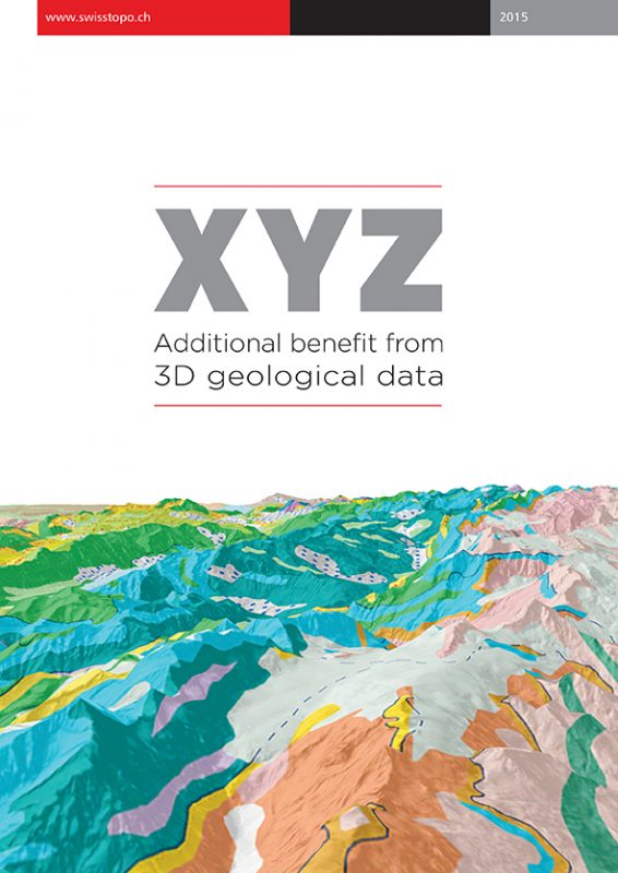
Eighty percent of political decisions are related to special data, which is information of any kind related to geographical coordinates. In most cases, spatial data is understood as 2D data describing the surface. Until recently, little attention had been paid to the subsurface, where three dimensional representations of the underground denote the main means of visualisation.
Geological data, information, knowledge and expertise are needed to address the challenges raised above. The 33 National Geological Surveys (NGSs) in Europe are the institutions responsible for the collection, management, interpretation (geological maps, models) and delivery of data and information relating to the land and marine subsurface.
As the center of competence at the federal level for the collection, interpretation and dissemination of geological information to industry, policy makers and the public, the Swiss Geological Survey at swisstopo is working intensively, like the other 32 NGSs, on these tasks. This eBook details…