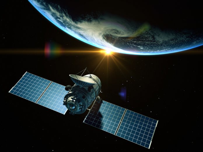
The NASA-ISRO Synthetic Aperture Radar (NISAR) satellite has captured and transmitted its first images of Earth, which show the science and monitoring capabilities this mission will deliver soon
Launched as a partnership between NASA and the Indian Space Research Organisation (ISRO), NISAR is poised to revolutionise Earth observations with its advanced radar systems and high-resolution imaging.
The next era of Earth monitoring
NISAR is the first satellite to carry both L-band and S-band synthetic aperture radar systems. This unique dual-frequency capability enables it to collect detailed information about the Earth’s surface, ranging from dense forest canopies and crop fields to urban infrastructure and ice-covered regions.
The satellite will orbit at approximately 747 kilometres (464 miles) and scan nearly every part of Earth’s land and ice surfaces twice every 12 days. It uses a 12-meter-wide drum-shaped radar antenna, the largest of its kind ever launched by NASA, to capture high-resolution images and data.
The first image showcases radar precision
The first set of images, captured in August 2025, shows the satellite’s ability to observe Earth’s surface in fine detail. On August 21, NISAR’s L-band radar system imaged Mount Desert Island along the coast of Maine. In the image, forests appear green, water bodies are depicted in dark tones, and built-up areas, such as roads and buildings, are visible in magenta. Narrow waterways and small islands are also clearly shown.
Two days later, on August 23, the satellite turned its gaze to northeastern North Dakota, capturing portions of Grand Forks and Walsh counties. The imagery reveals a patchwork of agricultural land, wetlands, and forested areas. Fallow fields appear darker, while lighter areas indicate active crops such as corn or soybeans. Circular plots stand out, suggesting the use of centre-pivot irrigation systems.
These detailed snapshots demonstrate the satellite’s ability to effectively distinguish between various land cover types, including croplands, forests, urban areas, and water bodies.
Radar technology
NISAR’s L-band radar, developed by NASA’s Jet Propulsion Laboratory, uses a 25-centimetre wavelength capable of penetrating vegetation and even measuring minute ground movements. This makes it especially valuable for studying changes in the Earth’s surface resulting from natural disasters, such as earthquakes, landslides, or volcanic activity.
The S-band radar, contributed by ISRO, operates at a shorter 10-centimetre wavelength and is particularly sensitive to small vegetation, making it ideal for agricultural and grassland monitoring. Together, these two systems provide complementary data, allowing scientists to monitor ecosystems, water resources, and infrastructure stability with high accuracy.
A model of international collaboration
The success of NISAR is the result of years of collaboration between NASA and ISRO. India supplied key components, including the spacecraft bus, the S-band radar, and the launch vehicle. The satellite was launched from the Satish Dhawan Space Centre using an Indian rocket and is now being tracked and operated through ISRO’s global telemetry and tracking network.
On the U.S. side, NASA’s Jet Propulsion Laboratory led development of the L-band radar and other major systems. At the same time, the Goddard Space Flight Centre manages data reception through the Near Space Network.
The whole science operation begins soon.
With successful deployment and initial imaging complete, NISAR is now in its final preparations before beginning full science operations in November 2025. Once operational, the satellite will provide critical data for disaster management, agriculture, climate monitoring, and other applications, supporting researchers and policymakers worldwide.


