Sentinel-1D joins the Copernicus constellation to deliver round-the-clock radar monitoring of our planet
Europe is committed to understanding and protecting the planet and has taken a significant leap forward with the successful launch of the Copernicus Sentinel-1D satellite on 4 November 2025.
Copernicus Sentinel-1D lifted off at 22:02 CET (21:02 UTC) aboard an Ariane 6 rocket from Europe’s Spaceport in Kourou, French Guiana, and reached orbit just 34 minutes later.
The first signal from the spacecraft was received at 23:22 CET by the Troll ground station in Antarctica, confirming that the mission is on track and operating as planned.
Copernicus Sentinel-1D is part of the Copernicus Programme, the Earth observation component of the EU Space Programme, developed in close collaboration with the European Space Agency (ESA). This latest addition will ensure the continuity of Europe’s advanced radar-based observation system, replacing Sentinel-1A, which has been orbiting the Earth since 2014.
Constant global monitoring
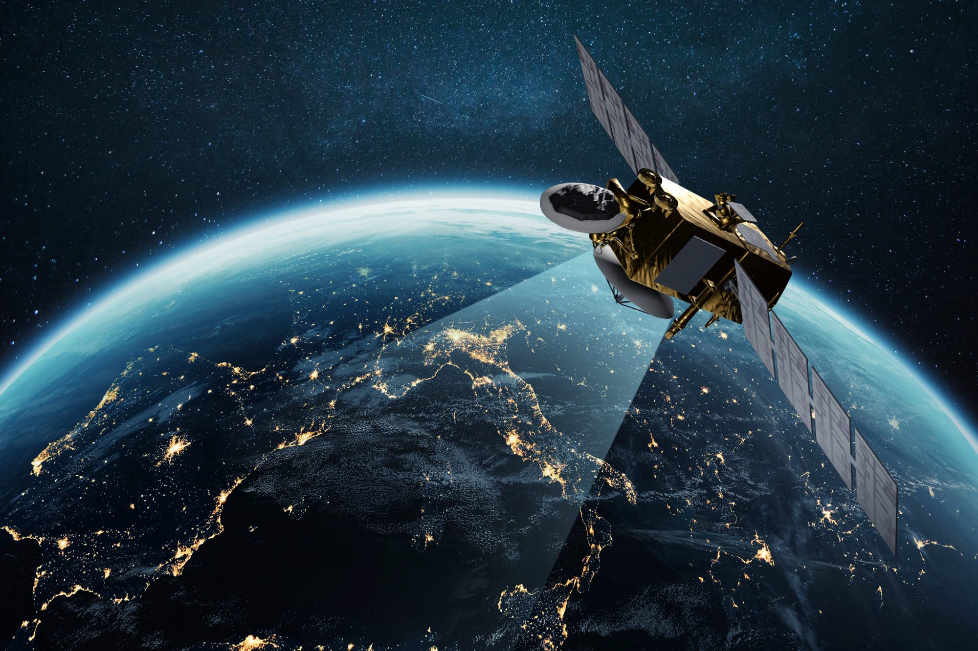
Designed to provide continuous, high-resolution radar images, Copernicus Sentinel-1D will watch over Earth’s land and oceans day and night, in all weather conditions.
Its radar technology enables it to capture detailed images through cloud cover and darkness, a crucial capability for environmental monitoring and emergency response.
Copernicus Sentinel-1D’s primary mission is to ensure that no gap in the flow of radar data supporting a wide range of services across Europe and around the world. From tracking environmental changes to supporting maritime security, Sentinel-1D will act as an essential tool for both scientific research and practical applications.
Supporting safety and sustainability
Copernicus Sentinel-1D’s radar instruments will play a key role in monitoring natural and human-made events. The satellite will detect oil spills, illegal fishing and shipping activities, and floods, as well as track ice movements, landslides, volcanic eruptions, and earthquakes. It will also support long-term monitoring of forests, agricultural lands, and urban development, providing essential data for environmental management and sustainable land use.
For maritime operations, the satellite’s ability to detect ships and changes at sea is particularly valuable. It will help authorities manage coastal safety, search and rescue operations, and environmental protection efforts, ensuring Europe remains a leader in safe and sustainable use of marine resources.
Europe’s space autonomy
Beyond its observational capabilities, Copernicus Sentinel-1D is equipped with a Galileo-enabled receiver, connecting it with Europe’s own navigation system. This feature enhances the autonomy and resilience of Europe’s space infrastructure, ensuring navigation independence without relying on non-European systems. It marks another step in Europe’s broader goal to strengthen strategic capabilities in space.
Once thoroughly tested and calibrated, Sentinel-1D will begin delivering data freely to users worldwide. Governments, researchers, and private organisations will all benefit from its insights, which support climate action, environmental protection, and economic innovation.
With Sentinel-1D now in orbit, the Copernicus constellation continues to expand its legacy as the world’s most comprehensive Earth observation network. Together with its companion satellites, Sentinel-1D will provide vital information for understanding global change, managing natural resources, and responding to disasters.


