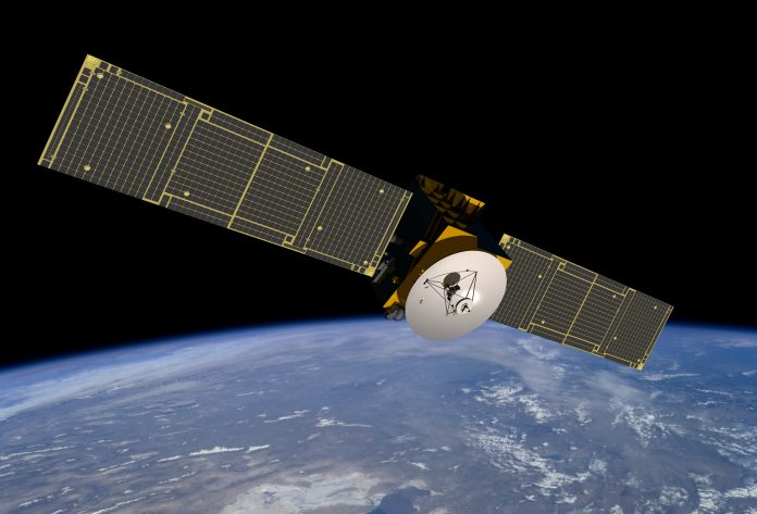
According to new observations by a Chinese satellite, six gigatons of carbon are emitted over land every year – equivalent to 12 times the mass of all living humans
The Chinese Global Carbon Dioxide Monitoring Scientific Experimental Satellite (TanSat) finds that roughly six gigatons of carbon are emitted over land, every year. This year, startling new evidence found that the Amazon Rainforest was no longer a carbon sink – emitting more than it absorbed. Another study found that 20% of existing forest area is legally allowed to be mined – meaning that more deforestation and carbon release is a definite outcome.
In these times of increasing carbon emissions, with countries openly committing to decreasing greenhouse gases, how can we keep track of the intricate web of carbon exchange?
A new map documents all carbon exchange
The new map, created from TanSat observations, examine how greenhouse gases are exchanged between atmosphere, land, water and living organisms.
Normally, more than a hundred gigatons of carbon are exchanged through this process, but now there is excess carbon pollution – leading to too much prevalence of carbon in some places, like land.
Dongxu Yang, first author and a researcher in the Institute of Atmospheric Physics at the Chinese Academy of Sciences (IAP CAS), said: “We also demonstrate that China’s first carbon-monitoring satellite can investigate the distribution of carbon flux across the globe.”
The new satellite data will be used to independently verify national emission inventories across the globe.
The Paris Agreement will use this data
This process should be overseen by the United Nations Framework Convention on Climate Change and begin in 2023, in support of the Paris Agreement.
Co-author Liang Feng, researcher with the National Centre for Earth Observation at the University of Edinburgh, said: “The sparseness and spatial inhomogeneity of the existing ground-based network limits our ability to infer consistent global- and regional-scale carbon sources and sinks. To improve observation coverage, tailor-made satellites, for example TanSat, have been developed to provide accurate atmospheric greenhouse gas measurements.”


