New technology is allowing scientists to predict where, when and how long coastal dead zones persist across large regions of coastline
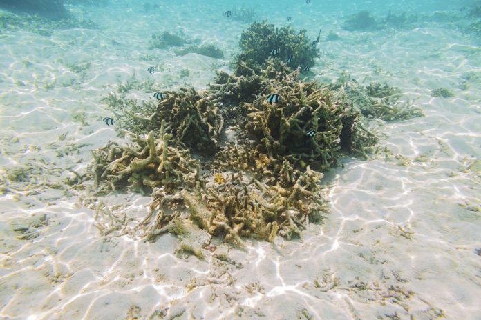
Dead zones, or hypoxia, are water bodies degraded to the point where aquatic life cannot survive because of low oxygen levels.
These coastal dead zones are a major problem where fertiliser runoff feeds algae blooms, which then die, sink to the water’s bottom and decay. This decay then eats up oxygen dissolved in the water resulting in fish and other organisms suffocating.
“Understanding where these dead zones are and how they may change over time is the first crucial step to mitigating these critical problems. But it is not easy by using traditional methods, especially for large-scale monitoring efforts,” said Yingjie Li, who did the work while a PhD student at MSU’s Center for System Integration and Sustainability (CSIS).
Identifying and tracking coastal dead zones
Dead zones can be hard to identify and track and usually have been observed by water samples.
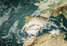
Scientists have figured out a novel way to use satellite views to understand what’s happening deep below the ocean’s surface. Using the Gulf of Mexico at the mouth of the Mississippi River as a demonstration site.
Supplementing data from water sampling with different ways to use satellite views over time, the team were able to predict the size of hypoxic zones. The study provides additional information on where, when, and how long hypoxic zones persist with greater details and enables the modelling of hypoxic zones in near-real-time.
Climate change is likely to exacerbate coastal dead zones
Since 1995, at least 500 coastal dead zones have been reported near coasts covering a combined area larger than the United Kingdom, endangering fisheries, recreation and the overall health of the seas.
The team has noted a need to “initiate a global coast observatory network to synthesise and share data for better understanding, predicting and communicating the changing coasts.”
“Damages to our coastal waters are a telecoupling problem that spans far beyond the dead zones — distant places that apply excessive fertilizers for food production and even more distant places that demand food. Thus, it’s critical we take a holistic view while employing new methods to gain a true understanding,” said Jianguo Liu, MSU Rachel Carson Chair in Sustainability and CSIS director.

