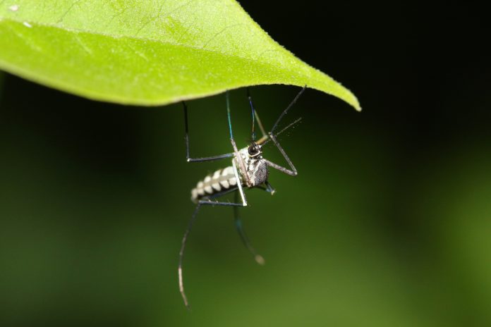
Researchers at The University of Oxford have created the most accurate global distribution maps to date for mosquito-borne diseases such as Dengue and Zika, to help stop these diseases
The global population at risk from mosquito-borne diseases – including yellow fever, Zika and Dengue – is expanding with changes in the distribution of two key mosquitoes: Aedes aegypti and Aedes albopictus.
The spread of these species is largely driven by a combination of factors: human movements and climate change.
Now, with an unprecedented level of accuracy, an international team of researchers, led by Dr Moritz Kramer at the University of Oxford’s Department of Zoology, have used statistical mapping techniques to predict where the species will spread over an immediate, medium and long-term time-scale.
Published today in Nature Microbiology they pinpoint this information with the precision of 5×5 km.
The researchers have used 35 years of historic data, together with 17 of the highest-regarded and accepted climate change models to create a tool for public health officials which will allow them to target resource most efficiently and effectively to combat disease outbreak.
Dr Moritz Kramer said:
“By combining data on the history of mosquito species spread, human population movements and climatic factors we have been able to reconstruct and predict the future of these disease-carrying mosquitoes. We hope that these high-resolution maps will be used to target specific geographic areas for surveillance, control and elimination of these harmful mosquito populations.”
Despite the picture they paint being not quite as bleak as previous studies have suggested, the researchers’ results show that areas of particular concern are large urban areas in the southern United States and southern China.
areas of particular concern are large urban areas in the southern United States and southern China.
However, with the precision now afforded in these high-resolution maps, it is hoped that timely, focused and targeted interventions can be mobilised to prevent future outbreaks of disease while simultaneously being most resource efficient.
Dr. Simon I. Hay, Director of Geospatial Science at IHME and Professor of Health Metrics Sciences at the University of Washington said:
“With this new work, we can start to anticipate how the transmission of diseases like dengue and Zika might be influenced by a variety of environmental changes.
“Incorporating this information into future scenarios of risk can help policymakers prepare for and predict health impacts, to help guide strategies to limit the spread of these mosquito species, an essential step to reduce the disease burden.’
Dr Moritz Kramer added:
“These mosquito species are expected to spread to new areas when temperatures are rising, especially in urban areas.
“These openly available global estimates, we hope, will provide a baseline for future analyses and should be taken into consideration when deciding how to control the spread of these mosquitoes with the aim to reduce the burden of the diseases they transmit.”


