Open Access Government explore why it is important for the United States Geological Survey (USGS) to conduct scientific research and development regarding the Earth and its everchanging processes
Changes to the natural world combined with today’s growing human demands put human health and safety, national security and economies all at risk. The United States Geological Survey (USGS) was created in 1879 to monitor, assess, and conduct targeted science research for the U.S. in areas such as:
- Natural hazards that threaten lives and livelihoods.
- Water, energy, minerals, and other natural resources that humans rely on.
- The health of our ecosystems and environment, including biodiversity loss.
- The increasing pressures and impacts of climate and land-use change.
Over the decades, USGS has evolved, matching its talent and knowledge to the steady progress of science and technology. Today’s Earth system challenges are far more complex and urgent than those that existed in 1879, and, as the world looks forward into the future, it is apparent that their mission is more important than ever before. USGS science aims to make a substantial contribution to the well-being of the Nation and the world, and the current Science Strategy for 2020-2030 defines a vision and mission to help achieve this and continue evolving.
Natural hazards and disaster prediction research
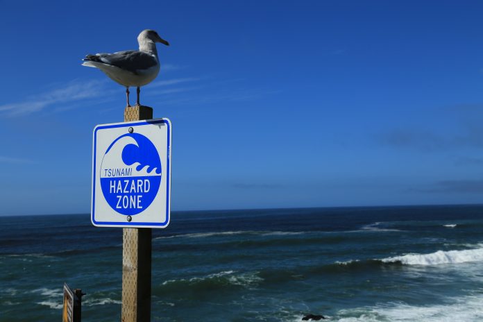
As the climate becomes more unpredictable, an extremely important focus area is the threat and consequences of natural hazards and disasters. Every year in the U.S. natural hazards threaten lives and livelihoods and also result in billions of dollars in damage.
The mission of the USGS natural hazards department is to develop and apply hazard science to help protect the safety, security, and economic well-being of the Nation. This is a hugely broad mission as hazards are extremely varied, and USGS maintains an expert workforce of scientists and technicians in the earth sciences, hydrology, biology, geography, social and behavioural sciences, and other fields, while also working with many partners to monitor, assess, and conduct targeted research on a wide range of natural hazards so that policymakers and the public have the understanding they need to enhance preparedness, response and resilience.
By identifying potential hazard scenarios and using USGS hazards science, federal, state, and local agencies can mitigate risk. For example, USGS science can be combined with population distribution to inform:
• Evacuation routes.
• Local building and land-use codes to reduce impacts to critical facilities.
• Emergency preparedness plans to ensure appropriate steps are taken before, during and after an event.
• Large infrastructure investments such as dams and reservoirs.
• Improvements to private property standards and materials which all help to make homes and community structures more resilient to natural hazards.
Risk Plan
The USGS also have a Risk Plan in place to ensure that hazards information is delivered and incorporated into risk assessments and other products that can be used by decision-makers to reduce loss and mitigate risk from multiple hazards. Implementing Risk Plan recommendations includes:
• Establishing a Risk Research and Applications Community of Practice, which has the purpose of bringing together like-minded scientists and staff across the USGS to discuss issues relevant to risk research and applications. They organise monthly virtual meetings which include a mix of presentations, training, discussions, with announcements about relevant resources, events and activities.
• Providing seed funding to risk-focused projects: Every year USGS issues a request for proposals to award their seed funding to projects that focus on innovative risk research such as 2021 projects “Predicting risk of plant invasion following wildfires in the United States” and “Coastal Vulnerability Assessments in Puerto Rico: focused stakeholder engagement to foster equity and inclusion.” Priorities for the projects include fostering cross-centre, cross-mission area, and interdisciplinary research, strengthening user engagement, demonstrating lessons learned, and identifying new resources.
Furthermore, every year the USGS highlight September as National Preparedness Month, using it as a time to raise awareness and encourage the U.S. population to review their preparedness plans for disasters or emergencies in their homes, businesses and communities. Regardless of size or impact, each hazard is unique, and each one provides an opportunity for USGS scientists to learn more about what causes them, thus finding better ways to help communities protect themselves and stay safe in the U.S.

