Research has found that the Australian bushfires brought on numerous climate impacts may have nudged La Niña into a multiyear event
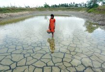
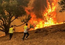
Australia’s bushfire crisis in 2019 and 2020 was one of the worst wildlife disasters in modern history. While claiming the lives of nearly 3 billion animals and hundreds of people, it also had horrific outcomes for the climate.
Scientists at the National Center for Atmospheric Research (NCAR) have conducted research on Australian bushfires and found that wildfire emissions contributed to ocean cooling thousands of miles away.
This ocean cooling event is now believed to have pushed the tropical Pacific into a rare multiyear La Niña event, which only subsided recently.
What is La Niña, and is its uncommon emergence negative?
According to the Met Office, ‘La Niña’ or “the girl” is the term adopted for the cooler, drier-than-average weather experienced in the tropical eastern Pacific.
It is the opposite side of the fluctuation of La Niño, which sees episodes of cooler-than-average sea surface temperature in the equatorial Pacific.
The conditions for declaring ‘La Niña’ differ between different agencies, but during an event, sea temperatures can often fall 3-5 °C below average.
La Niña often causes drier and warmer than average conditions
La Niña events tend to impact the winter climate over North America, causing drier and warmer than average conditions in the Southwest U.S., wetter weather in the Pacific Northwest and colder temperatures in Canada and the northern U.S.
Image © Daria Nipot | iStock
How did the Australian bushfires cause cooling in the tropical Pacific?
La Niña can usually be predicted months in advance – and is an important phenomenon for seasonal climate forecasts – but the Australian bushfires may have altered our prediction forecast.
While La Niñas are not uncommon, an occurrence for three consecutive winters is rare.
The recent run of La Niñas, beginning in the winter of 2020 and continuing through last winter, is only the third string of three in the historical record, which dates to 1950.
This La Niña streak was determined as unusual, as it is the only one that did not follow a strong El Niño – which is warming instead of cooling in the tropical Pacific with similar but opposite climate impacts. Again, displacing climate forecasts.
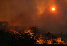
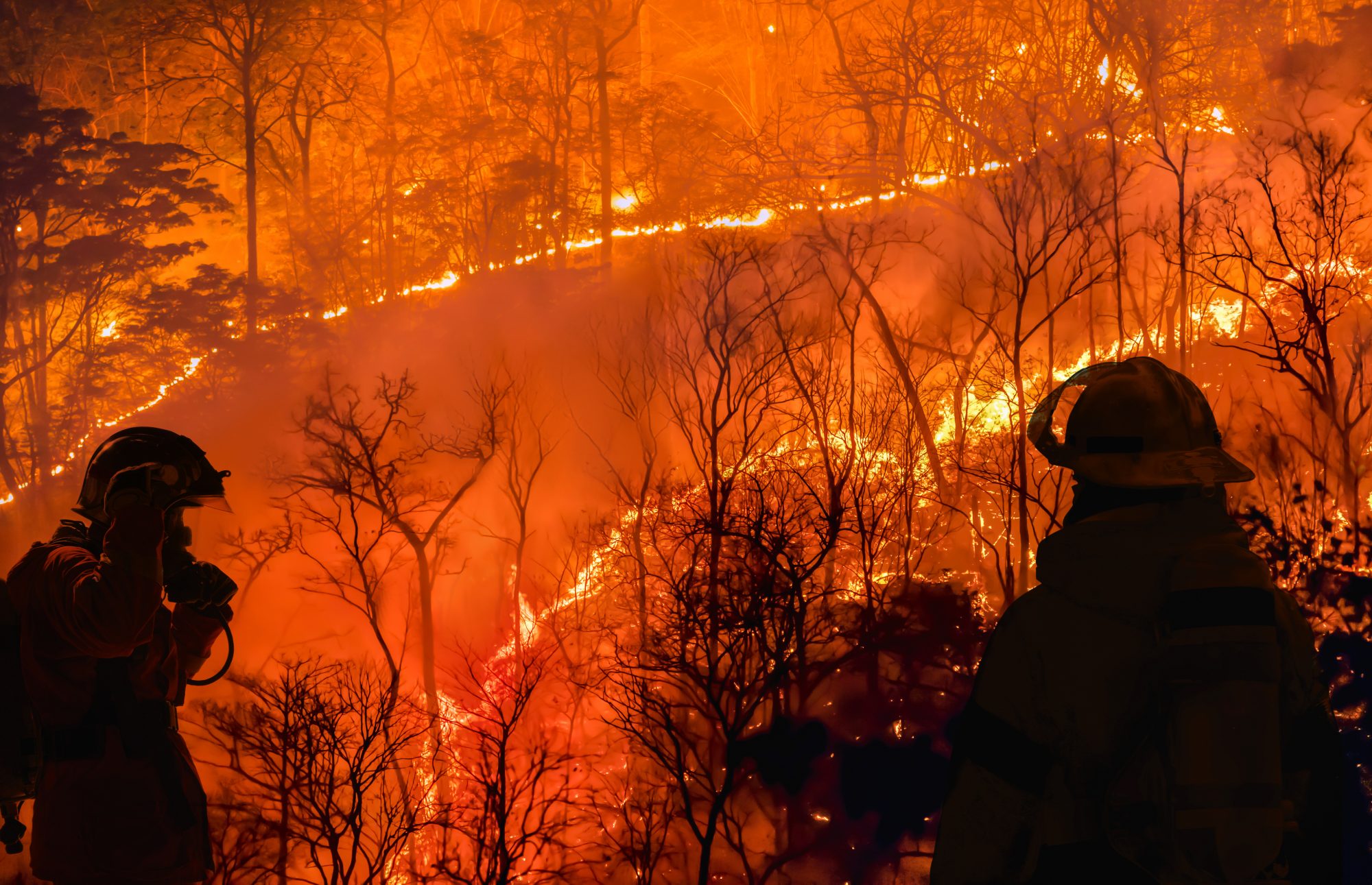
Given the massive scale of the Australian bushfires – which burned an estimated 46 million acres –the researchers found that there were large climate impacts resulting from the emissions.
Earth system changes and their climate impact
This is not the first time a large event has disrupted climate patterns, however, as events in the Earth system, including large volcanic eruptions in the Southern Hemisphere, can shift the odds toward a La Niña emerging. In the case of a volcano, emissions spewed high into the atmosphere can result in the formation of light-reflecting particles called aerosols, which can cool the climate and ultimately create favourable conditions for La Niña.
However, for the emissions from the wildfires – which encircled the Southern Hemisphere at a rapid rate – a chain of climate interactions was enacted.
Not like previous volcanic eruptions, most of the wildfire emissions from the bushfires did not make it high enough in the atmosphere to cool the climate by directly reflecting sunlight, which would have been a more preferable outcome.
The aerosols that formed from the emissions brightened the cloud decks across the Southern Hemisphere
Instead, the aerosols that formed from the emissions brightened the cloud decks across the Southern Hemisphere, which cooled and dried the air in the region, ultimately shifting the zone where the northern and southern trade winds come together.
The net result was a cooling of the tropical Pacific Ocean, where La Niñas form, over multiple years.